
I had never heard of this trail until a fellow board member alerted me of it while working on our Resources page.
When we arrived at the Cedar Hill trail, a couple was on the way out. I asked them if the trail was open, because there is a closed gate at the head of the trail, but they said it is always closed and hikers have worn a path around the gate.
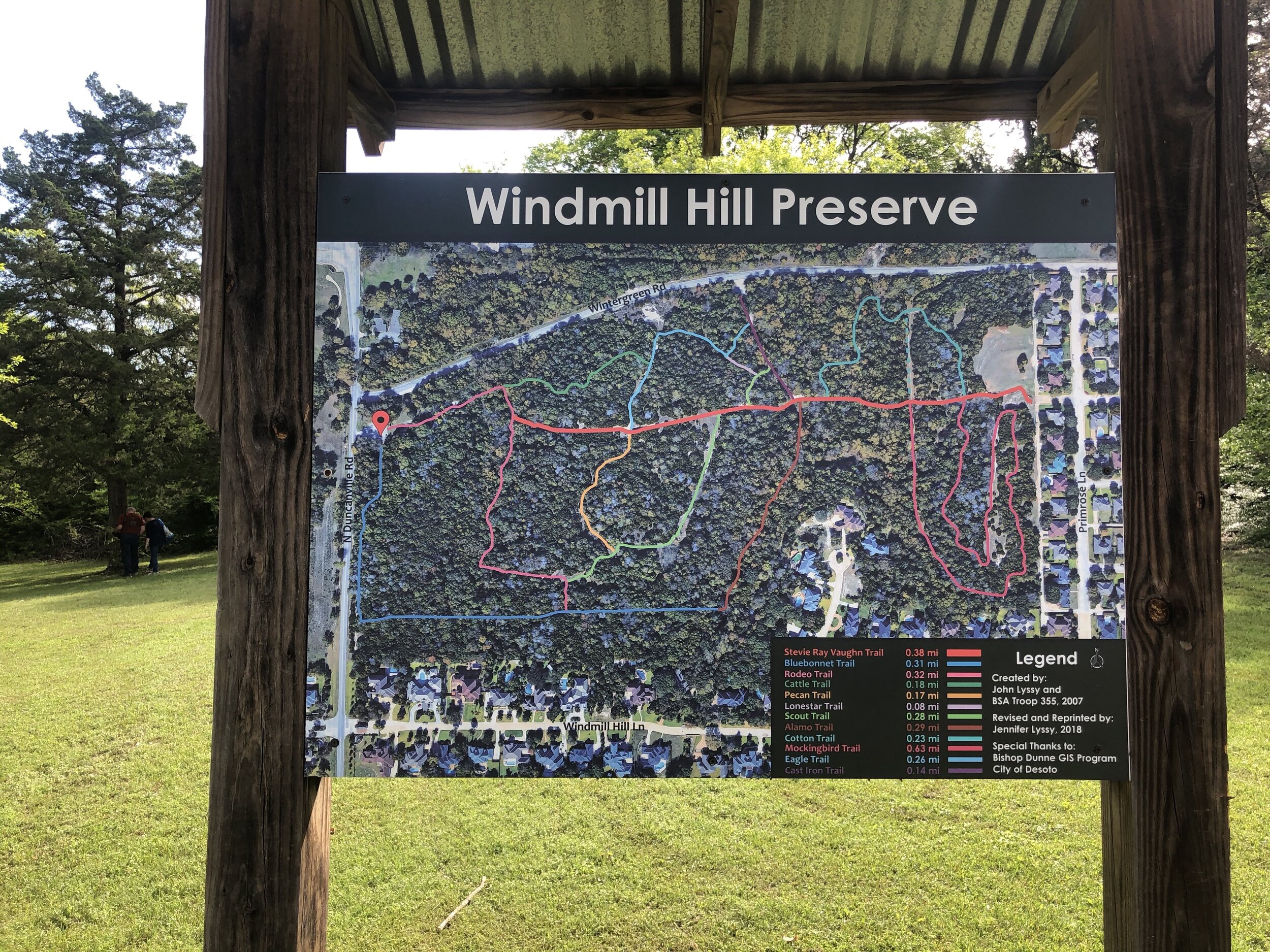
At the trailhead, there is a really great map — TAKE A PICTURE OF IT. These paths are NOT marked, and I can’t seem to find a map of the trails online. I did find there were metal markers to indicate a new path, but it would be helpful if they were painted to reassure visitors they were headed in the right direction.
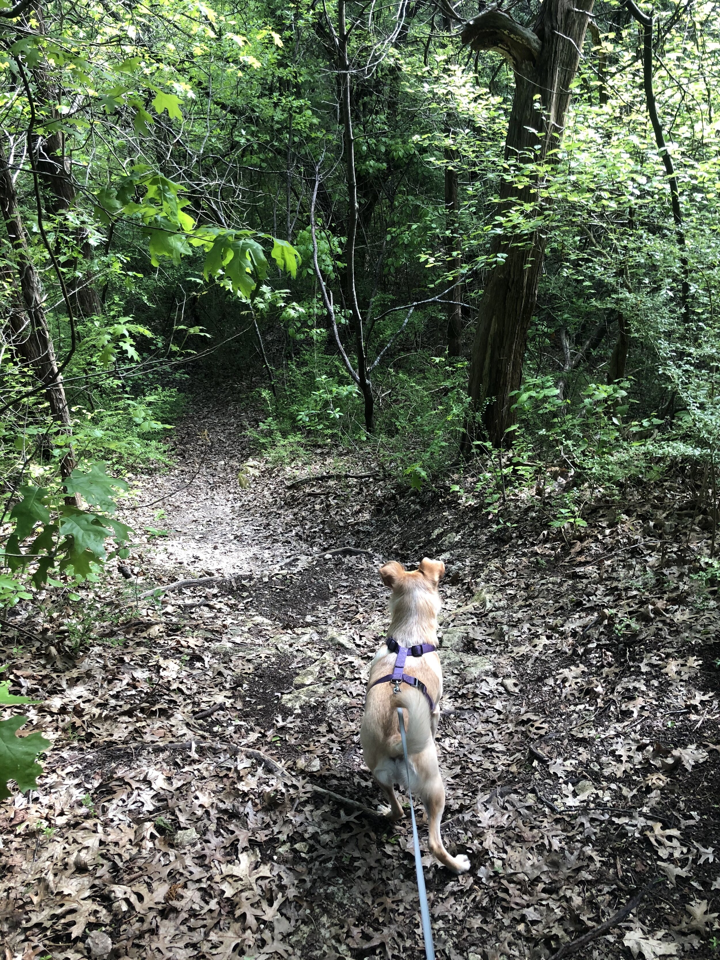
On the map there is a thick, red line; that is the main trail. If you have never been here, I would suggest staying on the main trail; it is wide and very clear and if you follow the map, you’ll be fine. We attempted to go off the main path right as we entered, and we just kind of got stuck and ended up turning back around to get back to the main trail. In our attempt to “off road,” we also ran into tons of spider webs because there hadn’t been many visitors that day. It is possible I wasn’t where I thought I was while looking at the map, so I’ll have to try again some other time.
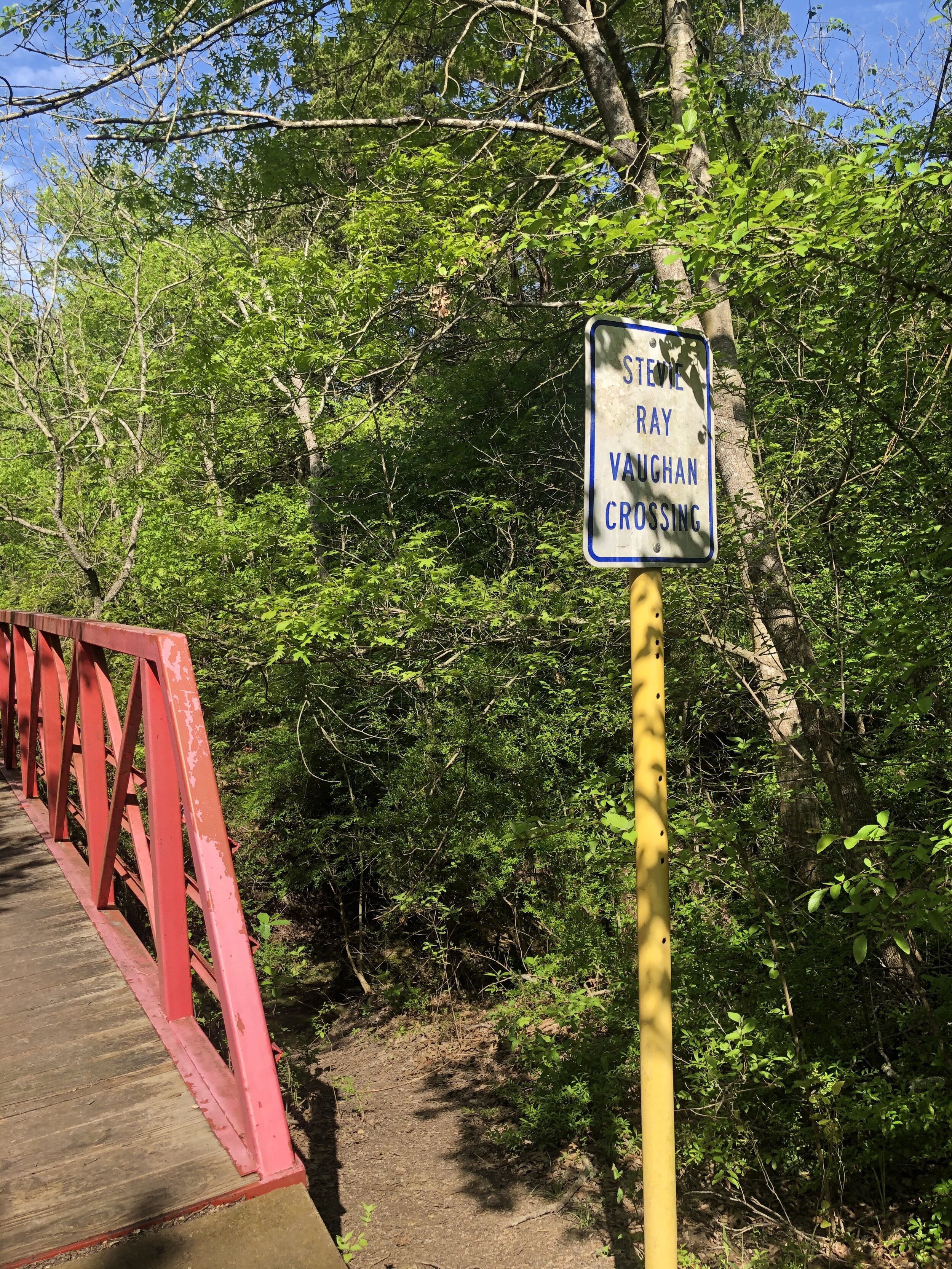
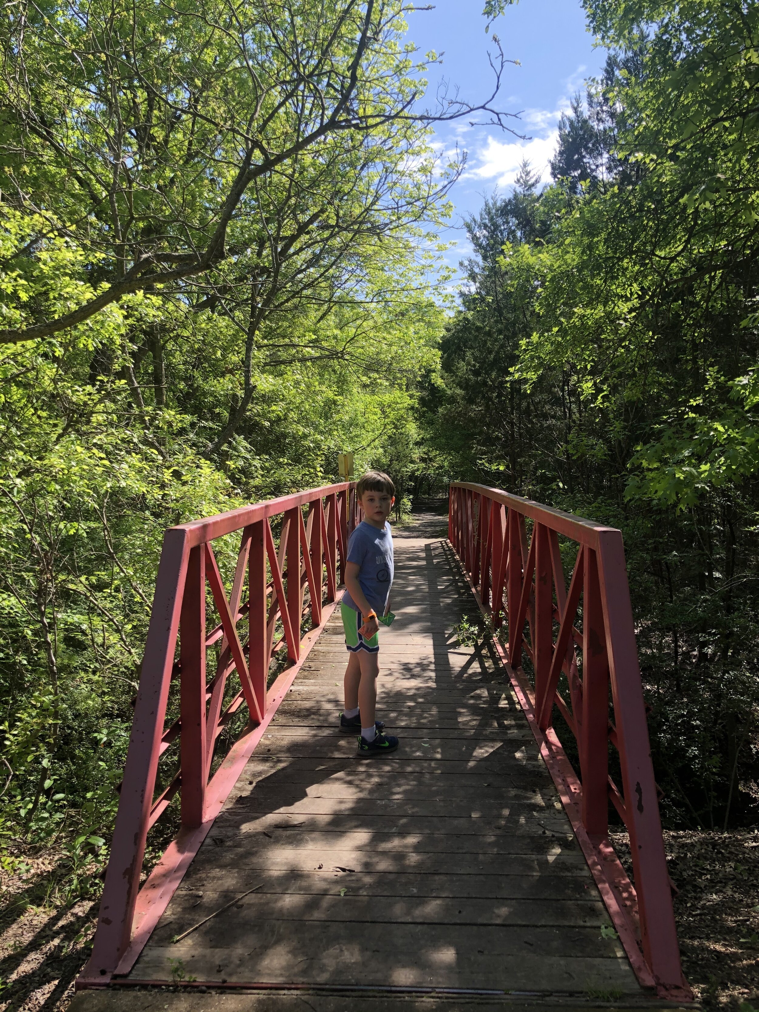
I think this terrain is much more interesting than Oak Cliff Nature Preserve and there is a nice bridge, called the Stevie Ray Vaughn Crossing, that takes you across a bit of water.
While there is lots of flora to look at, we still heard lots of trucks and cars outside of the trail.
Length: 5 miles long including all of the side trails, but the main trail is very doable with little ones. Can’t locate a trail map online, but here is a larger image of the map at the trailhead.